Simply the best app for mountain lovers

A unique artificial intelligence algorithm turns your mobile phone into a mountain encyclopedia.
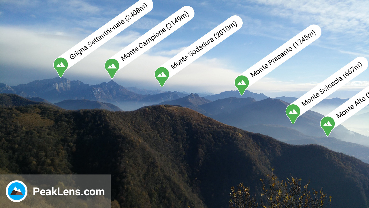
Get it on Google Play
Explore it on AppGallery

PeakLens is dedicated to the memory of Alfredo Castro Bernita

What can PeakLens do?

Check out our features, and try them yourself!

Peak identification

In real-time, with high accuracy, within seconds.

Better than traditional compass apps

With artificial intelligence algorithms.

Take amazing pictures

And save your best shots.

Gallery

Relive your mountain adventures.

Share your pics

With your friends and other mountaineers.

Download maps

And use PeakLens offline anywhere in the world!

What's inside?

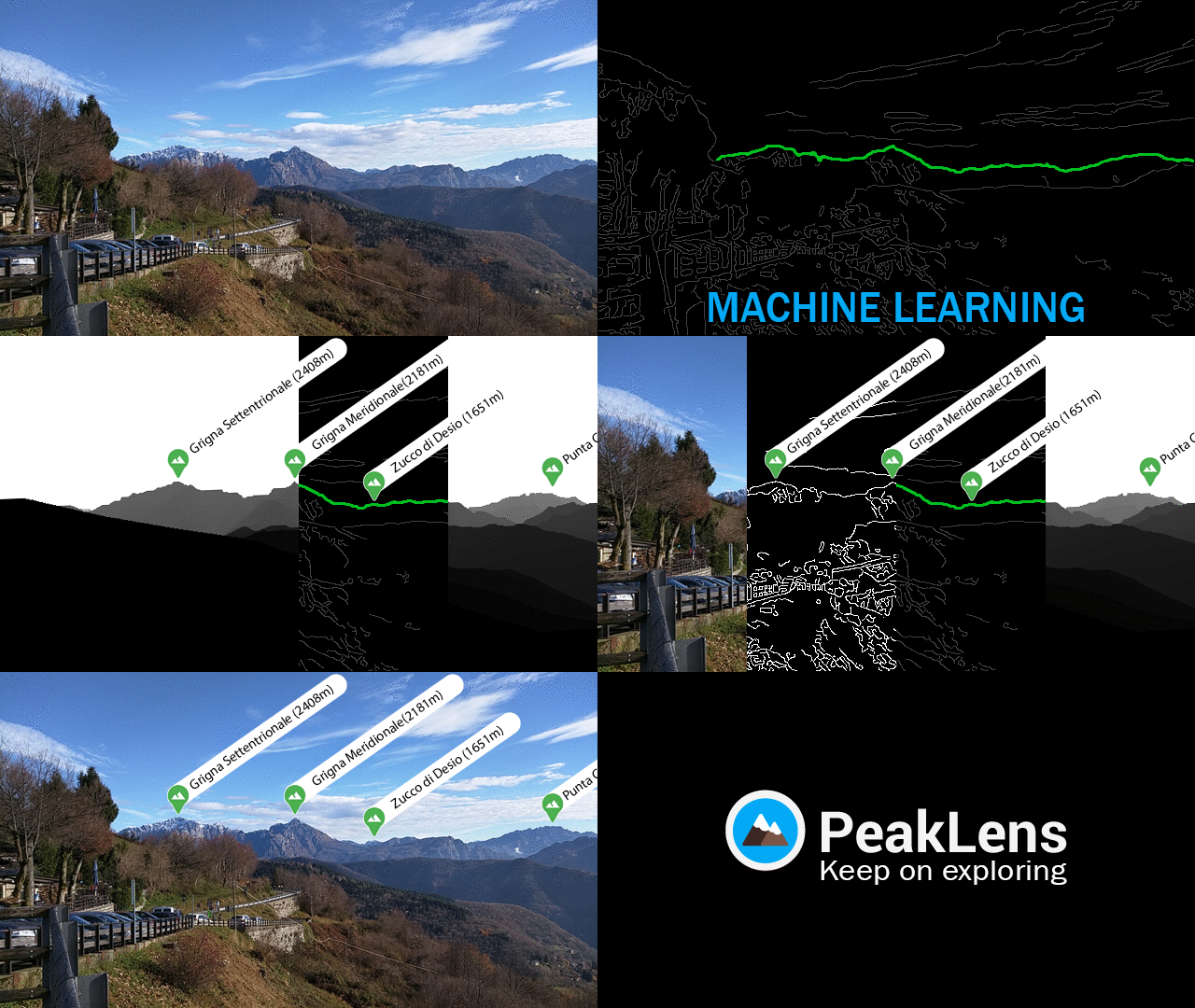
PeakLens is not a traditional augmented reality app based only on the GPS and compass signals. It is the result of years of research in artificial intelligence and computer vision, producing a novel algorithm that identifies mountain peaks in real time with high precision. Its core is the comparison of what you see with the 3D model of the terrain in your camera view. Our goal is to provide you with the best possible experience enriching your stunning pictures with the most accurate information about the mountain peaks in view.
Gallery

Here are some pics from PeakLens users.

Resources

Digital Elevation Model

The digital elevation model of the SRTM project is used for calculating panoramic views.

Coverage

The Peaks dataset is extracted from Openstreetmap.
OpenStreetMap is open data, licensed under the Open Data Commons Open Database License (ODbL).
Please help to improve the Openstreetmap.org data. You can become a contributor and add peaks info by yourself, here more info.